The deadline for submitting draft maps was February 4, 2022. Map submissions are no longer being accepted. The tools remain on the website for reference purposes only.
There are different tools for different purposes, and different tools for different levels of technical skill and interest. You may choose to draw either a 4-district or a 5-district map. For 4-district maps, the Mayor would be citywide, directly elected. For 5-district maps, the Mayor position would rotate from among the five Council Members.
Mapping Tools:
1. Paper-only maps for those without internet access or who prefer paper. NOW UPDATED WITH 2020 OFFICIAL CENSUS DATA (PRISONER-ADJUSTED)
Tools needed:
2. Paper maps with a Microsoft Excel spreadsheet to calculate population totals.
Tools needed:
3. Dave’s Redistricting App is an easy-to-use map drawing tool to create and submit redistricting maps.
-
- Sign Up for DRA 2020
- Read DRA 2020 User Guide
- Use DRA 2020 select a map to start from and click “Duplicate.” The site will take you to your personal “My Maps” list and your map will show (be patient, this takes a few seconds). Rename your map keeping “Half Moon Bay” in the title. Click “Edit” to begin drawing/editing. The deadline has past for submitting maps.
4. DistrictR has been replaced with Dave’s Redistricting App (see above). Note: DistrictR used population estimates; Dave’s Redistricting App uses the official population. Those who previously submitted under DistrictR are encouraged to redraw using Dave’s Redistricting App for population balance. The archive DistrictR Gallery can be viewed here (to view the Gallery, scroll down after opening the page, but do not use this mapping tool for drawing maps).
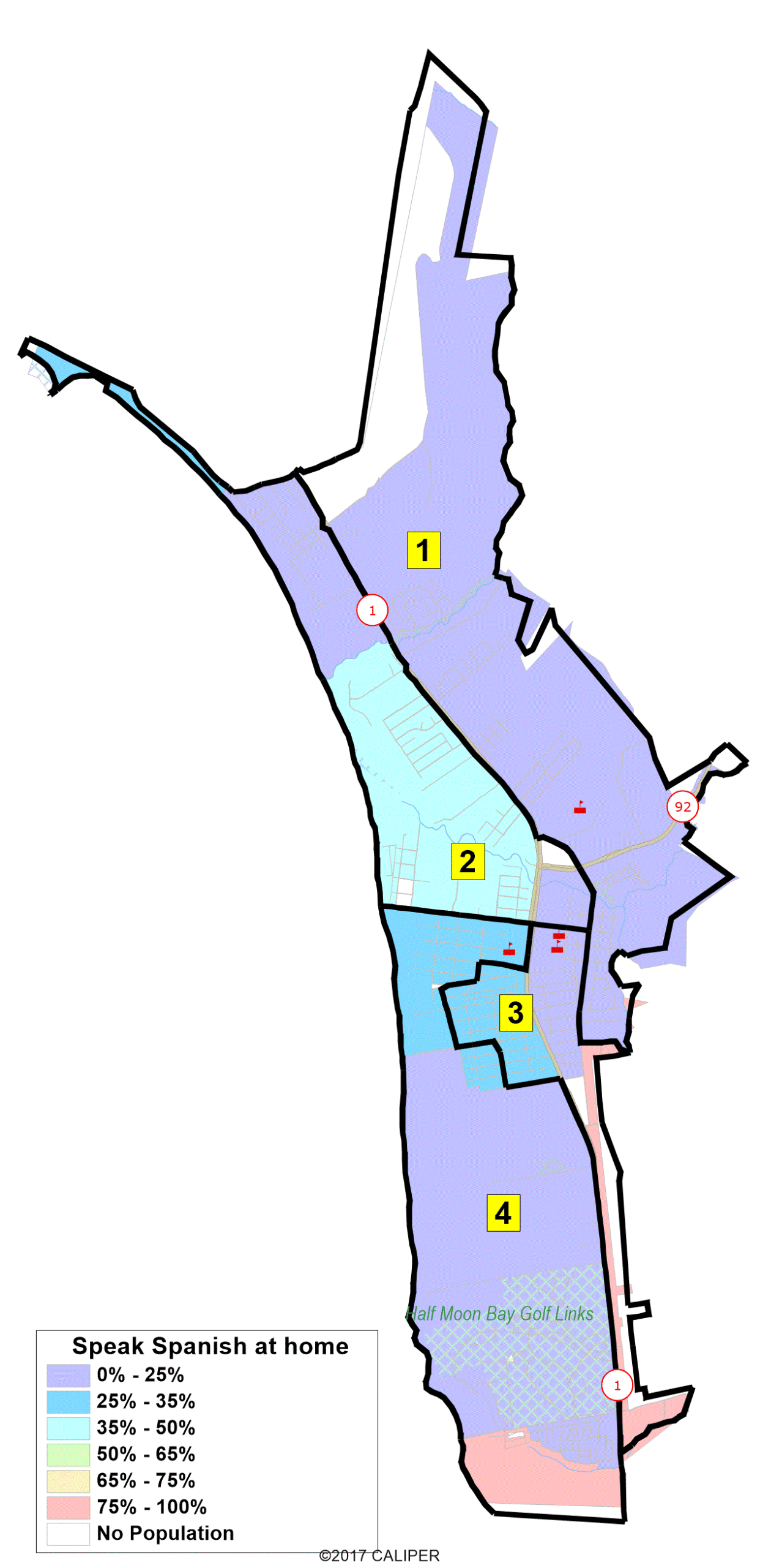
5. Interactive Review Map to review, analyze, and compare maps, not to create them. Zoom in and out on map boundaries, view population counts/ID#s, and view draft maps (once the draft maps are released). Similar to Google Maps in ease of use.
Tools needed:
5. Other Resources
Maps can be viewed on the Draft Maps page or on the Interactive Review Map.